Big Sur place names · stop 7 of 43, going north
Salmon Creek Falls
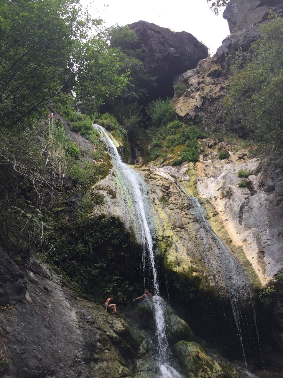
A short walk in from the road brings you to a tall waterfall, and half the coast knows it. There is no parking lot. People leave their cars along both shoulders and walk in the roadway on a blind bend, so come around it slowly.
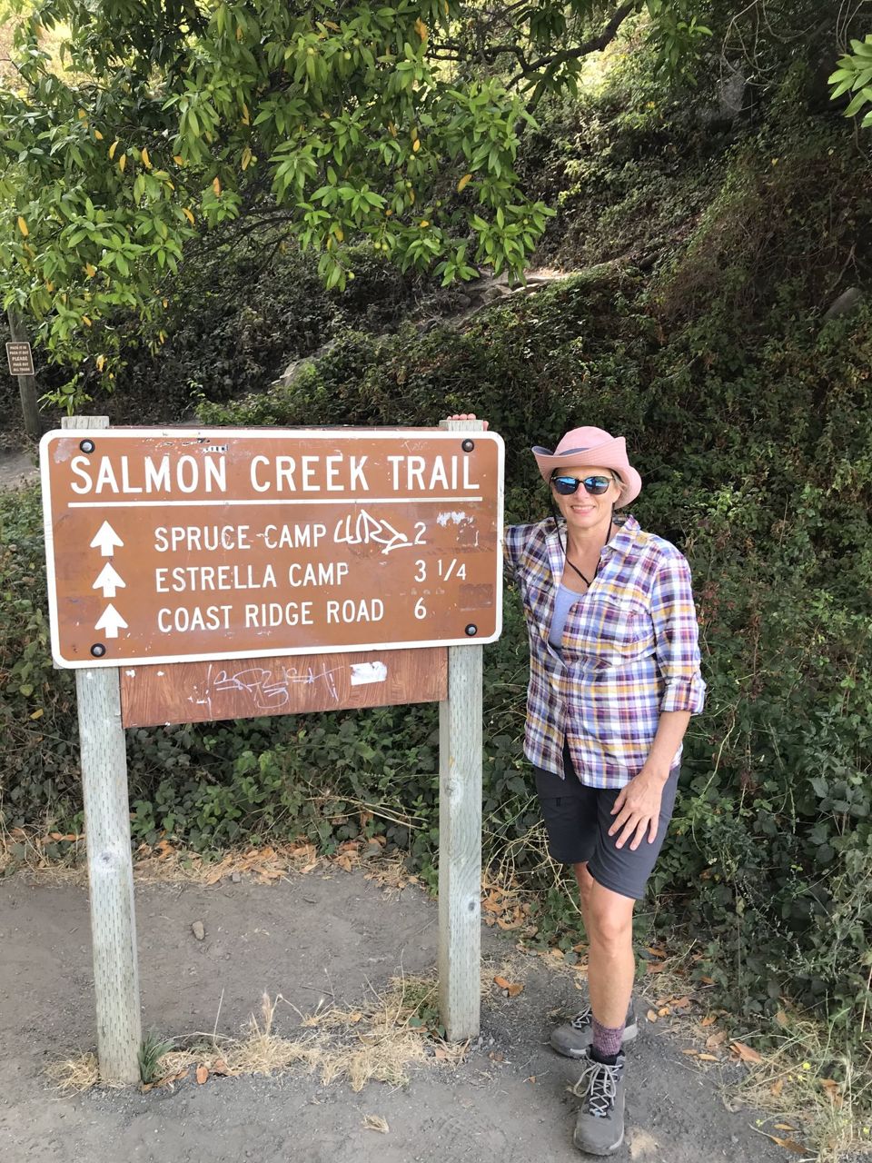
The old ranger station is not a parking lot either. The trail up this creek climbs into the Cruikshank country, where the gold rush of the generation before mine played out. The ranches along here were Evans ranches.
Thomas Evans came out of Wales by way of Wisconsin and bought the north part of the Piedras Blancas rancho, above the lighthouse, and when Hearst gathered up the whole of that country the Evans home place stayed Evans; my grandson's family tells it that they would not sell to him. The sons spread up this coast. Tom and Evelyn made their home at Cory Cove, just south of Salmon Creek, and Ray's ranch near the creek was bought later by Doctor Linus Pauling, the scientist, who once had to be rescued off a cliff on his own land.
I wrote the whole tale of that family for the paper, and it is at plaskett dot family. The first prospectors on this coast were Chinese placer miners, working this creek before any settler thought of gold. A boy named Willey Cruikshank watched them at it, looked for gold in every creek after, found the Last Chance mine, and in 1937 walked into the Lucias and was never seen again.
He had tended his mother's grave above Villa Creek as long as he lived.
Read further
- Tale of the Evans Family, by Mabel Plaskett
- Willey Cruikshank, Mining Was His Life, by Mabel Plaskett
Where it is
35.8155, -121.3586 — Highway 1, Big Sur coast, California.
Forty-three places between Carmel and San Simeon, free, and it works with no signal once it is loaded — which most of this coast has none of. Open the Big Sur guide.