Big Sur place names · stop 6 of 43, going north
Ragged Point
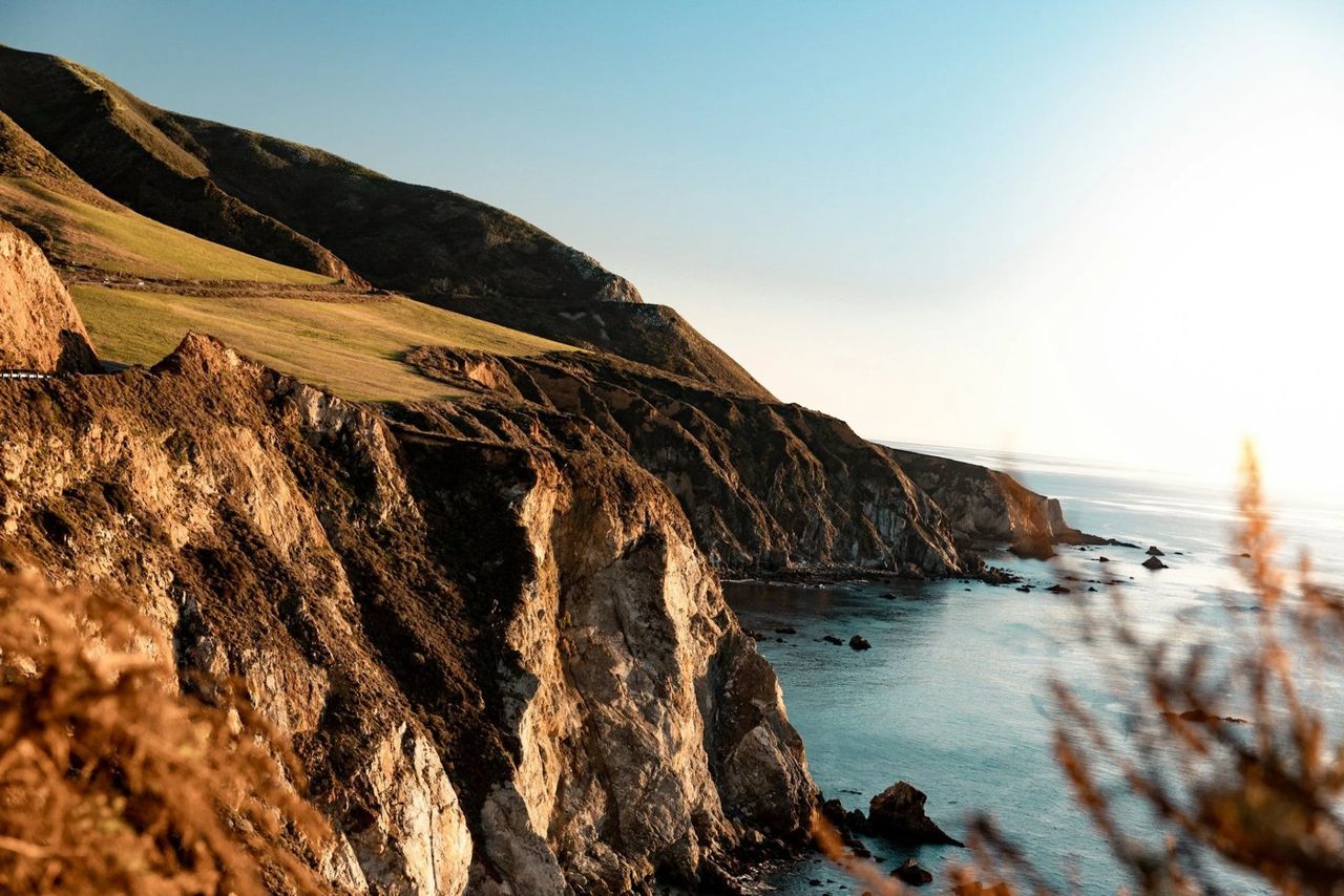
Ragged Point is the gateway. From here the road climbs and the towns end, and this is the last reliable stop for a long while, so fill your tank if you have not. In my day this was a point of cattle and fog.
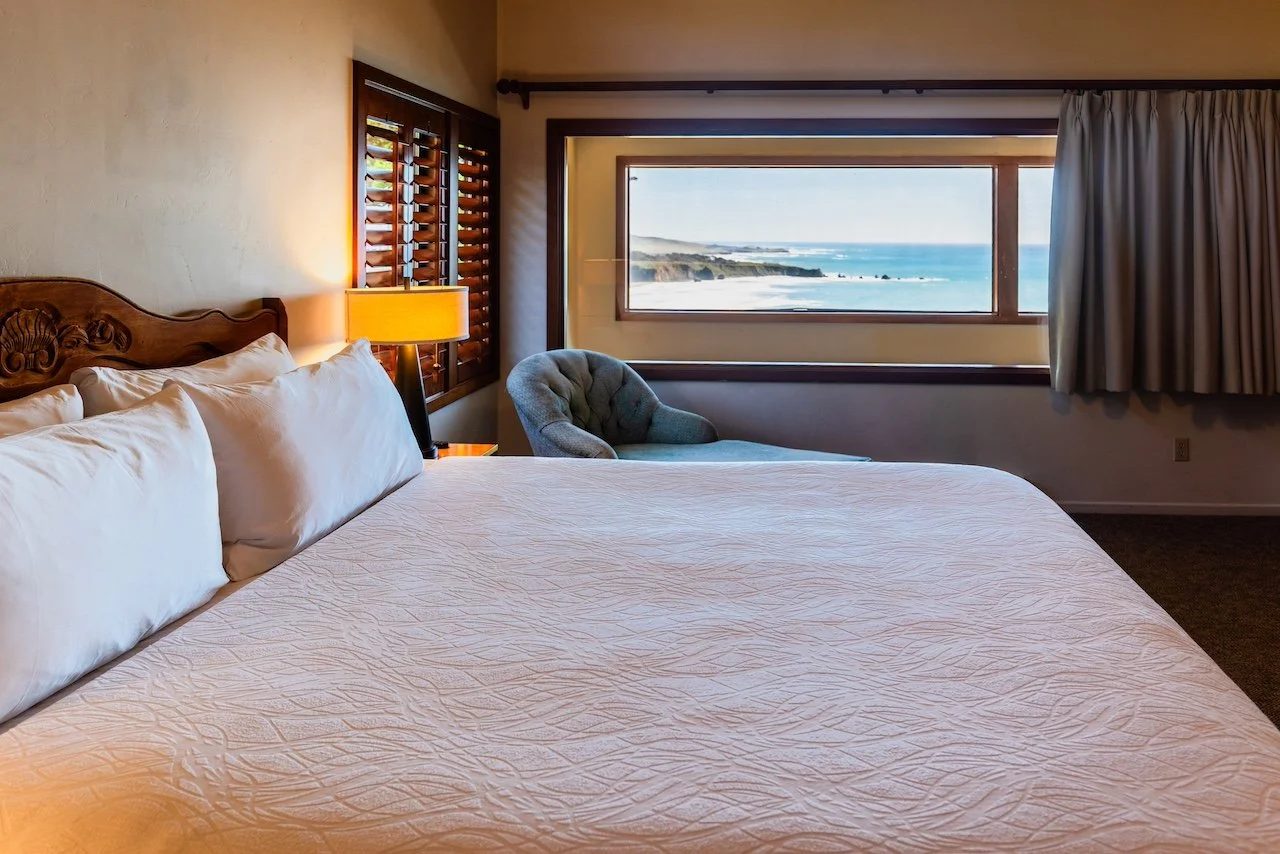
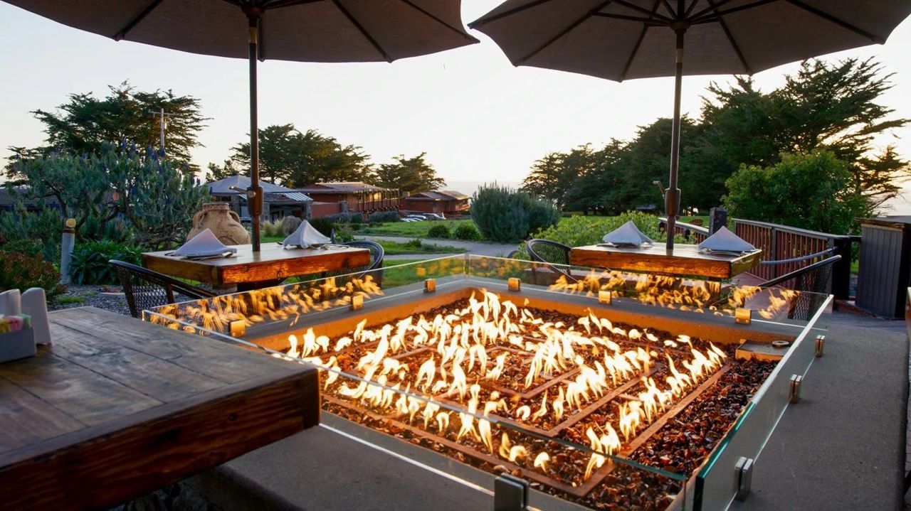
Today there is an inn on it, three hundred and fifty feet above the water at the edge of the cliff, with rooms that look out to sea, a restaurant walled in glass, and a coffee bar and bakery by the road for anyone only passing through. Walk out past the buildings to what they call the portal to Big Sur, for the view people drive the whole coast for. A steep trail goes down from there to a black sand beach, a good half hour each way, and a flat path runs along the top for those who would rather watch for whales.
Stop here going north and you are ready for ninety miles of nothing. Stop here coming south and you have earned it.
The families here
- Wiley and Mildred Ramey — founders, 1961
Where it is
35.7807, -121.3309 — Highway 1, Big Sur coast, California.
Forty-three places between Carmel and San Simeon, free, and it works with no signal once it is loaded — which most of this coast has none of. Open the Big Sur guide.