Big Sur place names · stop 43 of 43, going north
Point Lobos
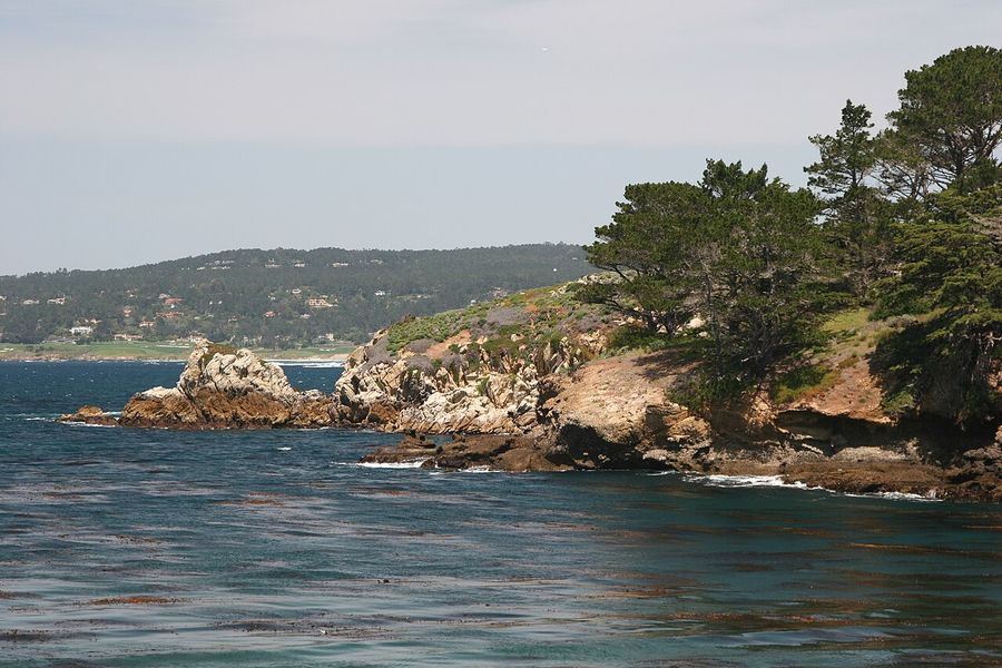
Point Lobos was called the greatest meeting of land and water in the world, by a landscape painter who had seen a good deal of both. The sea lions on the rocks offshore gave it the name. Punta de los Lobos Marinos.
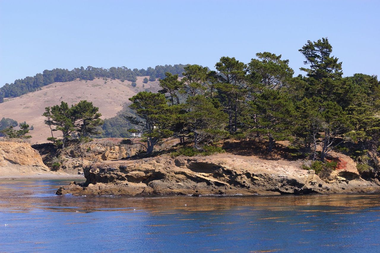
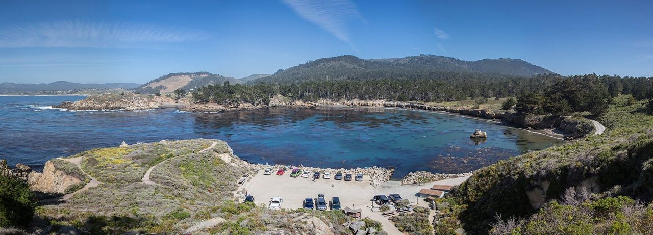
There are facilities for picnicking, as I used to say in the paper, and the gnarled wind-blown cypress you have seen on all the postcards. It is a reserve, not a park, and the number of cars is limited, so on a weekend the lot is full by midmorning. Come early, or park on the highway and walk in, which is free.
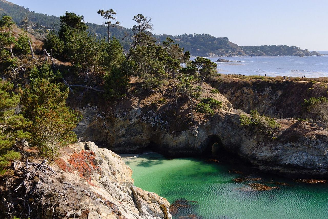
The trail through the cypress grove is half an hour, the whalers' cabin at the cove is a museum of the Chinese and Portuguese fishermen who worked here in the eighteen-fifties, and the sea otters lie in the kelp off the point. No dogs. Give it two hours.
It is the last thing on this drive, or the first, and either way it is the one to remember.
Where it is
36.5160, -121.9390 — Highway 1, Big Sur coast, California.
Forty-three places between Carmel and San Simeon, free, and it works with no signal once it is loaded — which most of this coast has none of. Open the Big Sur guide.