Big Sur place names · stop 42 of 43, going north
Carmel Highlands
Highway 1 was open along this coast when it was last checked. Caltrans' own Lane Closure System, as verified 2026-10-06. Today’s road status.
Carmel Highlands, and the coast road becomes an ordinary road again. There is gasoline here. Southbound, it is the last easy tank for ninety miles.
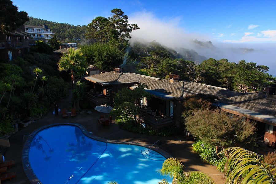
On the seaward side stands the Highlands Inn, watching over Point Lobos and China Cove since 1916. I put it in my drive down this coast years ago, and it is still there. A Hyatt resort now, and a splurge.
Pacific's Edge is where this coast gets proposed to. The California Market beside it shares the same view for the price of breakfast, and Point Lobos, just north, gives it away free with a park pass. South of here is ninety miles that is not an ordinary road.
Where it is
36.5054, -121.9362 — Highway 1, Big Sur coast, California.
The whole drive, spoken as you go.
Forty-three places between Carmel and San Simeon, free, and it works with no signal once it is loaded — which most of this coast has none of. Open the Big Sur guide.
Forty-three places between Carmel and San Simeon, free, and it works with no signal once it is loaded — which most of this coast has none of. Open the Big Sur guide.