Big Sur place names · stop 16 of 43, going north
Plaskett Creek Campground
forty-four sites on the grass, across the road from Sand Dollar Beach
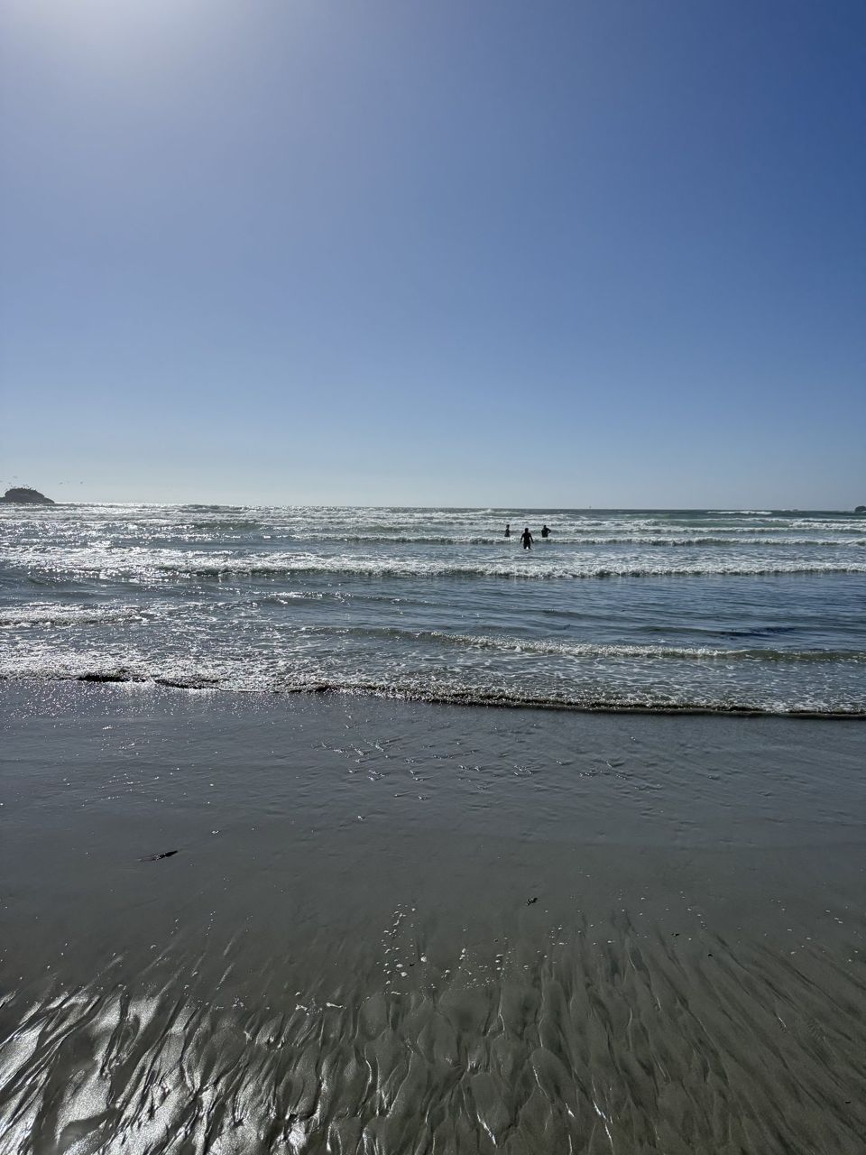
Plaskett Creek comes down off the ridge to the sea at the south end of our valley, and the campground on the mountain side of the road carries the family name. Long before the highway was dreamed of, the family followed the old Indian trails from Jolon, over the mountains past Chalk Peak, and down the steep slopes to this shelf. Everything on it was claimed, worked, and buried by one family and their neighbors.
You are driving through the middle of the story. The campground itself sits on land we traded to the government, my husband and I, so that it could be built. My grandson remembers the day the picnic tables went in, and that they stood taller than the skinny cypress saplings planted beside them.
Those saplings are the trees that sprawl over the sites now. And since you are camped on the benchland where it happened, the bear. Somewhere in the eighteen eighties a grizzly took to killing Plaskett cows here, and a cow was worth more than most things a coast family owned.
The men held a council and made a plan: build a platform in the tree above the dead cow, climb up with rifles and a net, and wait for the bear to come back to its kill. They were fine carpenters, and the platform went up square. Then the night came down cold, and the men, up since before dawn, nodded off one by one.
The bear came back at exactly that moment, and so did the men, all of them, out of the tree and onto the bear, nightshirts, rifles, hats, net and all. Nobody recorded who was more astonished. The bear left the valley at a speed nobody had associated with bears, and the men counted their limbs, found the full number, and walked home.
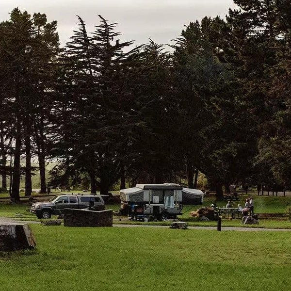
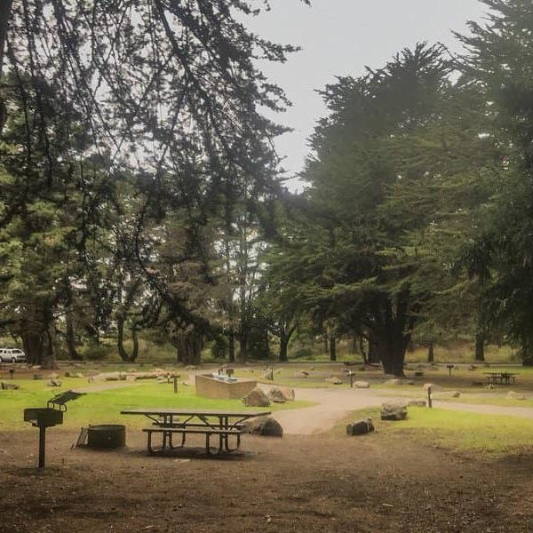
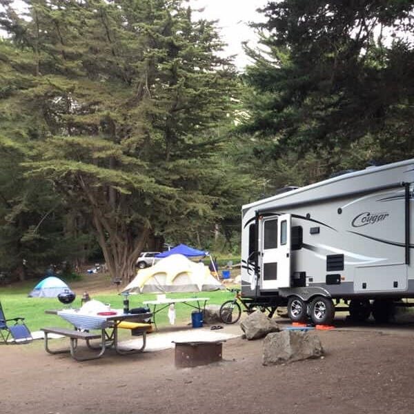
The cow was never avenged, but the family got a story that has outlived every man on that platform, and the bear besides. The campground is the biggest on the south coast, and the Forest Service tells it plainly. Forty-four sites on the grass, under a scattered canopy of Monterey pine and cypress with cedar for the scent, two hundred feet above the sea, and the surf can be heard from many of them.
Forty-two of the sites are booked through recreation dot gov, six months ahead, and two are kept for whoever arrives first. Three group camps take up to forty people each. Every site has a table and a fire ring with a grill.
There are flush toilets and sinks, and water taps through the campground when the water is on; in a dry year they shut the taps, so carry what you will drink. No hookups, no showers here or anywhere on this stretch but Gorda, and no signal. Fires only in the rings, dogs on a leash, check in at three and out by noon, fourteen nights at most.
There is a nightly fee, half price with a senior or access pass, and a small per-person fee for anyone who walks or bicycles in. Sand Dollar Beach is walking distance, the largest sandy beach on this coast, with the Pacific Valley School standing between the campground and the beach, and the bluff trails run north and south from it. Fox, bobcat and deer come through the sites.
Watch the poison oak; the valley grew it long before it grew Plasketts. When the coast burns, the campground closes with the fires, so check before you count on it. It is run for the Forest Service by a concession, and the Monterey Ranger District office is in King City.
Read further
Where it is
35.9189, -121.4675 — Highway 1, Big Sur coast, California.
Forty-three places between Carmel and San Simeon, free, and it works with no signal once it is loaded — which most of this coast has none of. Open the Big Sur guide.