Big Sur place names · stop 10 of 43, going north
Los Burros Road
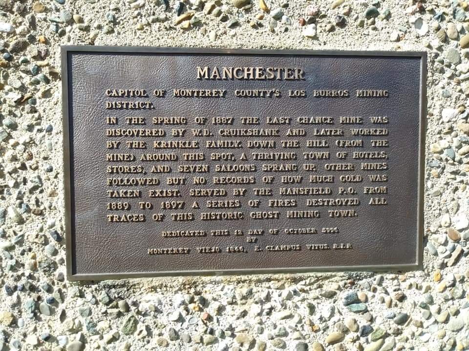
Here, beside Treebones, Los Burros Road leaves the highway and climbs to the South Coast Ridge. It is not a road for a car, and I will not soften that: a jeep road, for a strong four-wheel-drive and a rugged rig, and only when the Forest Service has it open. But the views from it are great, and up there stood Manchester, the capital of the Los Burros mining district.
In the spring of 1887 W. D. Cruikshank found the Last Chance mine, and the Krenkel family worked it after him.
Down the hill from the mine a town sprang up, hotels, stores and seven saloons, with its own post office, Mansfield, from 1889 to 1897. Other mines followed, and nobody kept a record of how much gold came out. A series of fires took the town, and the Buckeye Fire of 1970 took the last of the cabins; a bronze plaque on a stone stands where it was.
The mines of the district, our family's claims among them, are all in that country.
Where it is
35.8877, -121.4600 — Highway 1, Big Sur coast, California.
Forty-three places between Carmel and San Simeon, free, and it works with no signal once it is loaded — which most of this coast has none of. Open the Big Sur guide.