Big Sur place names · stop 24 of 43, going north
Limekiln
Highway 1 was open along this coast when it was last checked. Caltrans' own Lane Closure System, as verified 2026-10-06. Today’s road status.
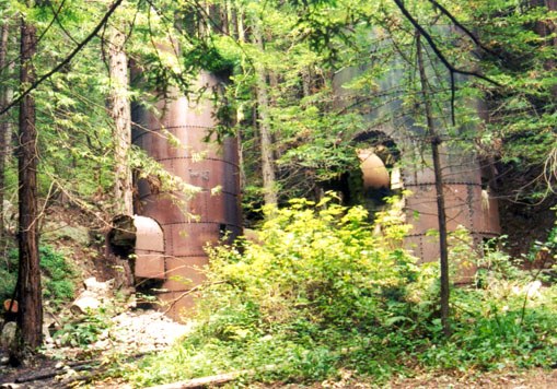
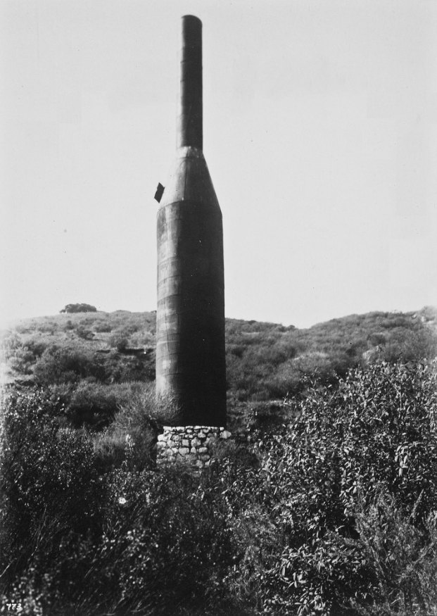
From 1887 to 1890 the Rockland Lime and Lumber Company quarried limestone up this creek and burned it in four great kilns. The kilns still stand at the end of the trail. Barrels of lime rode a cable out to the cove and onto ships.
Three years exhausted both the limestone and the redwood that fired it. I called the walk up this creek the most beautiful in the world, and I have not changed my mind. The state park keeps a small campground on the creek and the beach, in the redwoods, and it is the one to want.
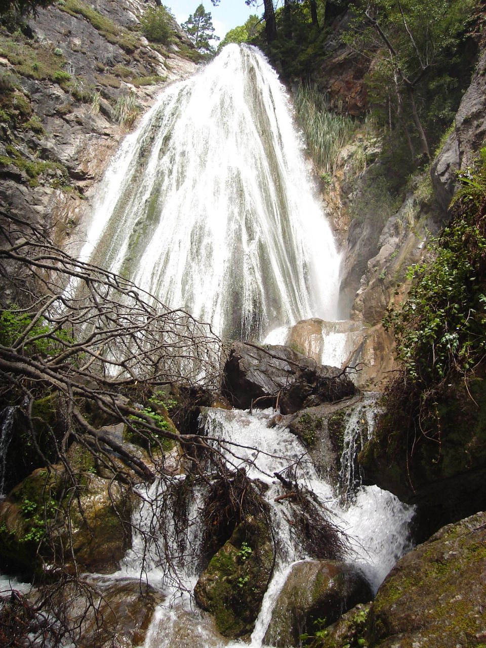
The trail to the kilns is half an hour, and the branch to the falls a little more.
Where it is
36.0100, -121.5183 — Highway 1, Big Sur coast, California.
The whole drive, spoken as you go.
Forty-three places between Carmel and San Simeon, free, and it works with no signal once it is loaded — which most of this coast has none of. Open the Big Sur guide.
Forty-three places between Carmel and San Simeon, free, and it works with no signal once it is loaded — which most of this coast has none of. Open the Big Sur guide.