Big Sur place names · stop 39 of 43, going north
Bixby Bridge
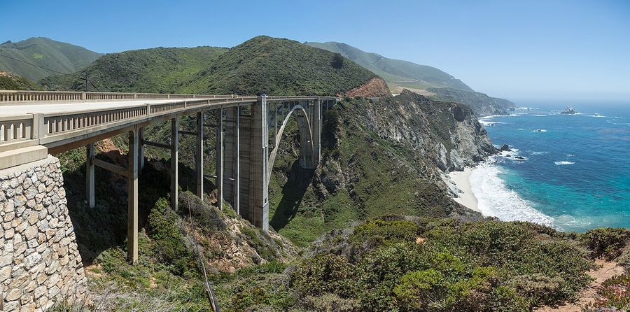
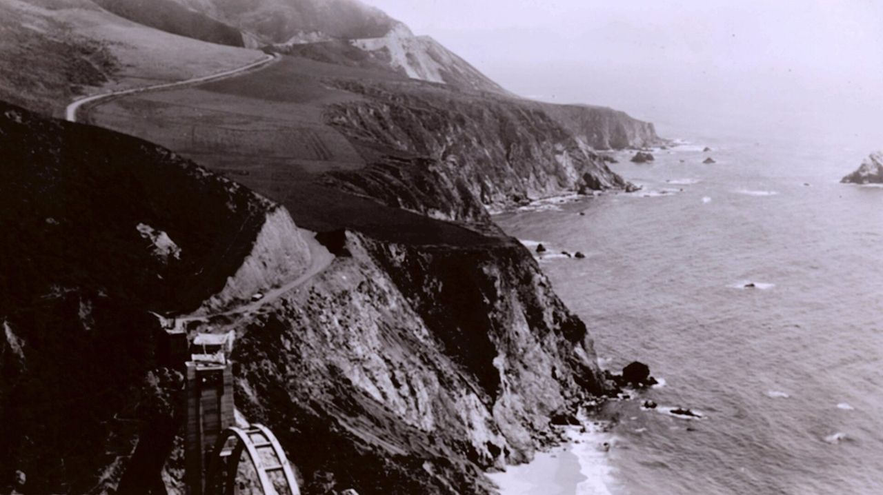
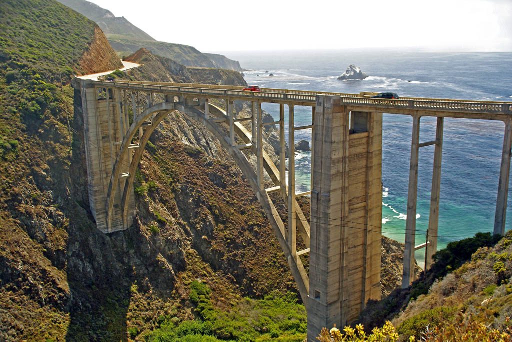
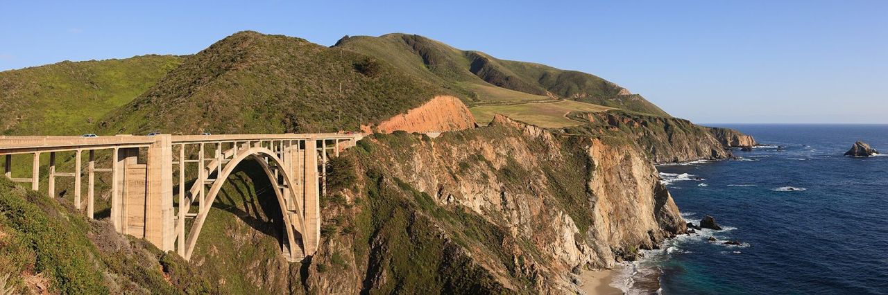
Bixby Creek Bridge, finished in 1932. Three hundred and sixty feet of concrete arch across a canyon that had no crossing at all. Before this bridge the south coast was reached by trail, and I remember when the road opened in 1937 and everything changed at once.
This single span is the reason the road exists. Pull into the turnout at the north end and look back at it. This is the picture everyone takes, and nobody is wrong to.
The dirt road climbing the hill from the turnout is the Old Coast Road, the wagon road that went inland around the canyon before the bridge, ten miles over the ridges to Andrew Molera, and in dry weather a car can still take it. The men who built this highway were convicts from San Quentin, camped along the coast, and they earned time off their sentences with every mile.
Where it is
36.3720, -121.9020 — Highway 1, Big Sur coast, California.
Forty-three places between Carmel and San Simeon, free, and it works with no signal once it is loaded — which most of this coast has none of. Open the Big Sur guide.